
Desceliers got the outline of the Northern Territory of Australia down in surprising accuracy for the 16th century, particularly when you consider the first official recorded "glimpse" of the west coast of Australia by a European explorer didn't happen until 1606.
Detail :

Desceliers also included Australia on a far more detailed map four years later, in 1550, where he, well let's face it, he went a bit nuts. Or at least, his flight into cartographical fiction was encouraged. Hell, who knows, maybe he was just having fun :

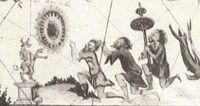
Some of the detail of this map is too good not be given prominence. A selection of screengrabs from the above map follows.
The now rarely seen Australian giraffe camel :

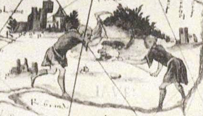
A human sacrifice? Note the figure hanging/suspended from the tree :

Yes, Desceliers even included elephants as Australian land beasts :

Beautiful art, at the very least.